The state of the cycle route and its layout
The Scandibérique is laid out along minor roads and greenways
- Details on the route, including the stretches on greenways and on roads are given at the level of the maps accompanying the pages devoted to the various stage descriptions.
Tracks for the greenways and cycle routes.
- The descriptions of the various stages complement the information on the layout of the route and its signposting, as well as signalling if there are any difficulties along the way or not.
- Finally, the stages are graded according to level of difficulty: I’m a beginner/ with the family; I’m used to cycling; or I’m used to climbing (for the stages down south, where you cross the Pyrenees)
- You can select stages according to their level of difficulty here
State of the signposting and of ongoing works along the Scandibérique, county by county:
Last updated 18/03/2021
- Nord (65km): signposted route.
- Aisne (114km): marked itinerary (rarely on a shared path) but most often on a mixed site, VNF, ONF or farmer use is possible. Be careful in particular at Proix (02120) sharing the path with farm access: cows and machines can cross and the coatings can be very slippery (mud, gravel, etc.) depending on the season for around 100m. Obey the danger signs alerting you to this subject depending on your speed.
- Oise (100km): signposted route.
- Seine-et-Marne (107km): there are some gaps in the signposting for the time being, especially in the north of the county
- Seine-Saint-Denis (16km): there are some gaps in the signposting for the time being
- Paris (12 km): signposted route
- Val-de-Marne (15.5km): signposted route. There’s no signposting along the stretch around Albon-sur-Seine Lock
- Essonne (30km): provisional signposting is in place, but there are gaps in the signposting around Ablon-sur-Seine Lock, Juvisy-sur-Orge bridge and between Corbeil-Essonnes and the county of Seine-et-Marne
- Loiret (197km): signposting is in place, except along the banks of the Yonne and from Dordives to Briare along the Loing and Briare Canals. Then you follow the signage for the Loire à Vélo cycle route
- Loir-et-Cher (55km): the route through this county is shared with the Loire à Vélo cycle route, so follow the signs indicating the Loire à Vélo as far as Tours
- Indre-et-Loire (110km): the route through this county is shared with the Loire à Vélo cycle route, so follow the signs indicating the Loire à Vélo as far as Tours, then follow the signs for St Jacques via Tours up to the county of Vienne
- Vienne (118km): signposted route
- Charente (179km): signposted route
- Charente-Maritime (30km): signposted route
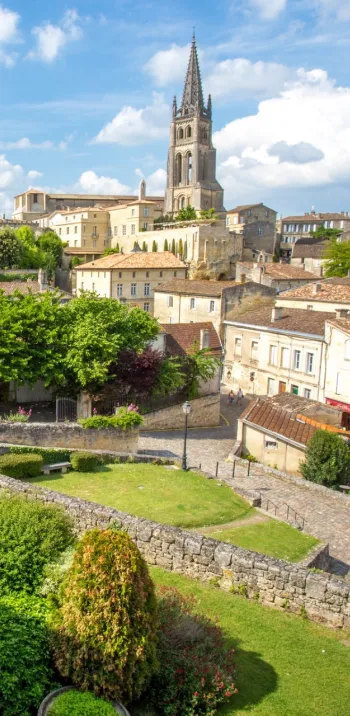
- Gironde (222km): signposted route, except in the area on the border with the county of Charente-Maritime
- Lot-et-Garonne (98km): signposted route
- Landes (178km): signposted route
- Pyrénées-Atlantiques (89km): signposted route