Liessies / Hirson
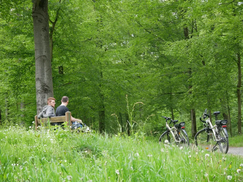
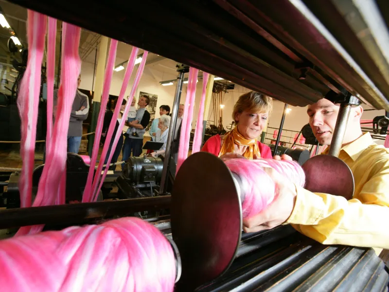
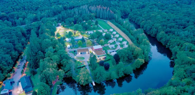
Leaving Liessies, enjoy a peaceful, wooded start along a greenway. This acts as a good warm-up, as, after Anor, you have to tackle Hirson Forest, in the foothills of the Ardennes Range. The greenway takes you beside lakes with a hint of Canada to them and past racing streams worth photographing, or picnicking beside. This makes a charming, green, undulating valley stretch, a bit like a Switzerland of the North… but seasoned adult or teenage cyclists should be able to take it on without too much trouble! If intrigued by the soaring chimneys of the area’s old textile mills, consider a detour via Fourmies. The last stretch is on a greenway through forests to Hirson, where you reach the Oise Valley.
Gradients and elevation
Road types
Surface
The route
Mainly along greenways or cycle paths, with a few portions on minor roads.
Signposted EV3.
Surfacing smooth: compacted tracks or asphalt.
Trains
- Fourmies train station
- Anor train station
- Hirson train station
Don't miss
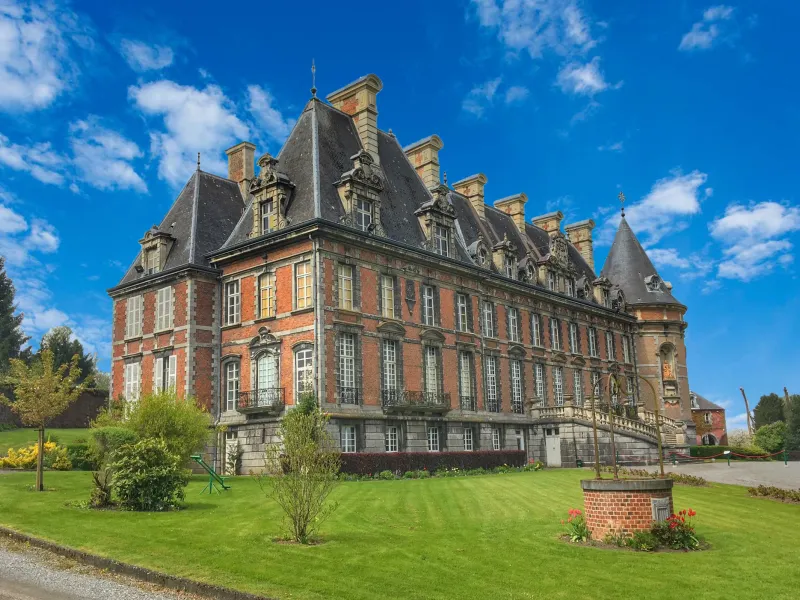
- Trélon : Castle of Trélon and workshop glass museum
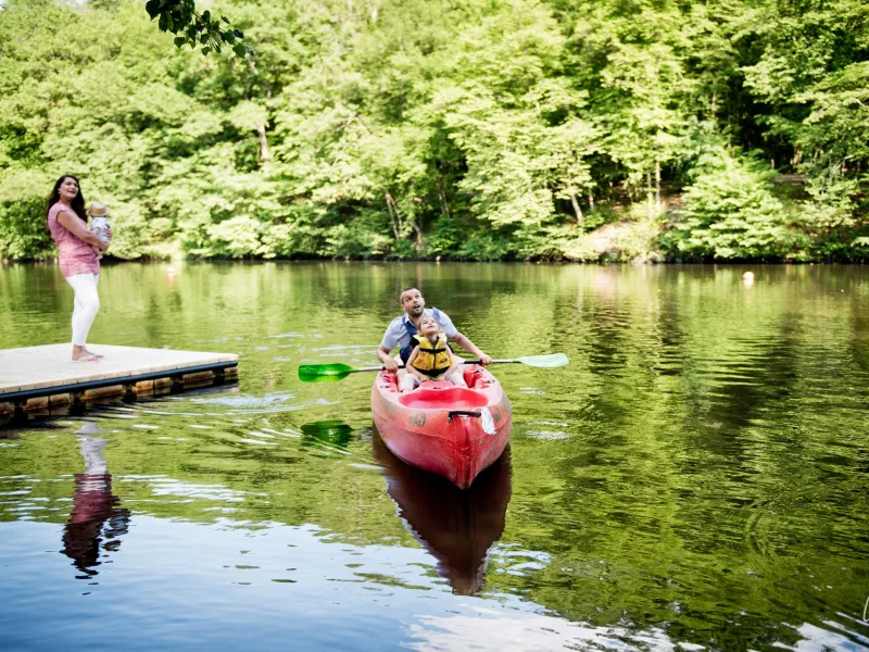
- Fourmies : the Base des Etangs des Moines, for outdoor activities set in a forest with four lakes and textile and social life museum
- Etangs d’Anor, lakes
- Etang de Milourd, a lake
- Etang du Pas-Bayard, a lake
- Saint-Michel and Hirson Forests
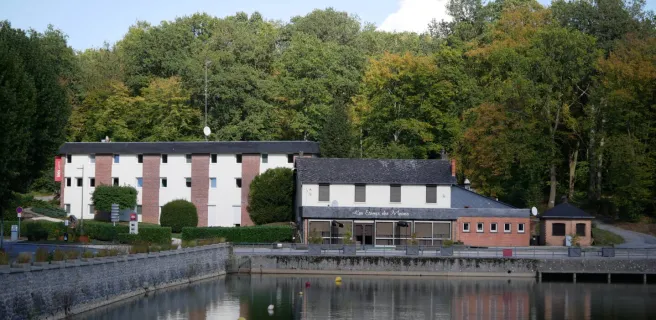
- The Domaine de Blangy (with its waterfall in a strait, its outdoor recreation centre and its campsite)